Starved Rock State Park
State park · Illinois
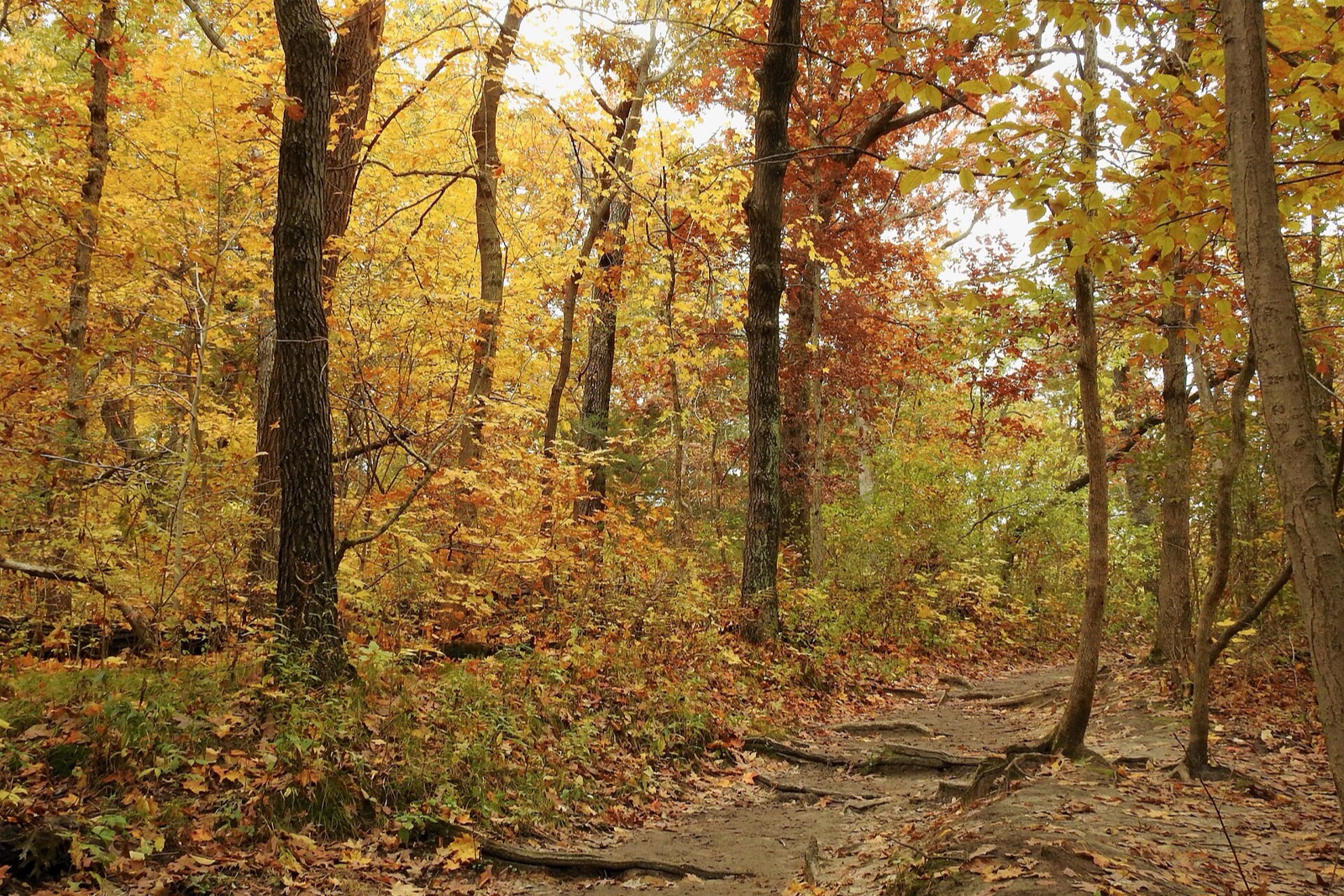
Eighteen sandstone canyons cut into the bluffs above the Illinois River near Oglesby, many holding seasonal waterfalls that run heaviest after fall rain. Maple and oak color the canyon rims through October across roughly 2,630 acres of trails, Illinois's signature fall hiking destination.
Don’t miss
Peak: October 29–November 2
Color builds from October 16 · mostly bare by November 22
Sampled at Starved Rock State Park’s own coordinates and elevation (143 m) rather than a regional average.
Illinois is sampled at 27 weather points, then moved 2 days later so the model agrees with 1 published peak date from smokymountains.com and almanac.com. Illinois is running 1 day later than its own average this year. How the forecast works
When to go to Starved Rock State Park
The color window runs about 24 days, holding until around November 9.
Starved Rock State Park on the map
Drag the date slider to see when color reaches this corner of Illinois, or tap a pin for that stop’s own peak window.
More things to do in Illinois
Leaves & views
Farms & harvest
Frequently asked
- When does Starved Rock State Park peak in 2026?
- Peak color is predicted for October 29–November 2 (best estimate October 31). Color starts around October 16 and is mostly bare by November 22.
Own or manage Starved Rock State Park? Update your listing or get in touch.