Franklin Falls
Trail · Washington
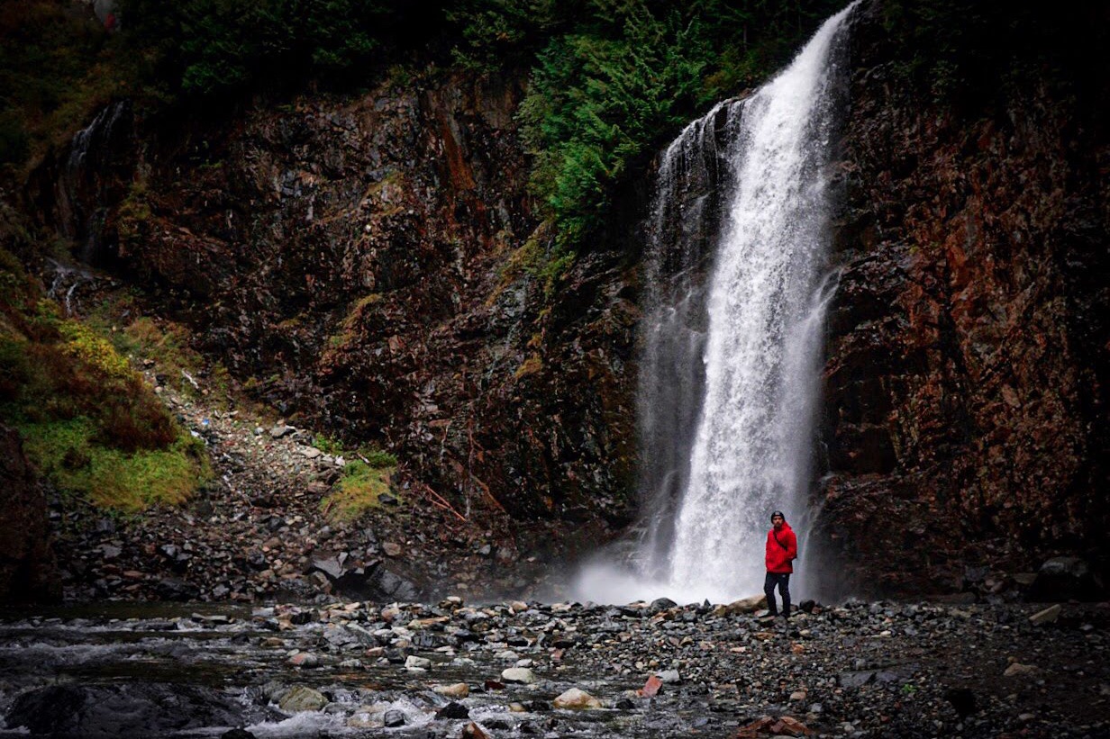
An easy two-mile round trip off Snoqualmie Pass through old-growth hemlock and cedar to a 70-foot waterfall, with vine maple burning red and gold through the understory in early-to-mid October.
Don’t miss
Trail details
- Distance
- Elevation gain
- Route
- Difficulty
Trail stats from the land manager. Conditions change, so check before you go.
Plan your visit
Peak: October 1–October 20
Climatological window from published records. The weather model’s elevation extrapolation isn’t reliable on this terrain, so this is the long-run normal rather than a season-specific forecast.
When to go to Franklin Falls
Color here typically peaks between October 1 and October 20. At 2,303 ft, it turns before the lower ground nearby.
From Seattle it is about 43 mi, close enough for a morning drive.
Franklin Falls on the map
Drag the date slider to see when color reaches this corner of Washington, or tap a pin for that stop’s own peak window.
More things to do in Washington
Leaves & views
Farms & harvest
Towns & rides
Plan from a city
Frequently asked
- When does Franklin Falls peak?
- In a typical year, color peaks around October 1–October 20. The weather model's elevation extrapolation isn't reliable on this terrain, so this is a climatological window (source: https://www.wta.org/go-hiking/hikes/franklin-falls) rather than a season-specific forecast.
- How long is Franklin Falls?
- 2.0 mi out & back with 400 ft of elevation gain, rated easy.
- How do I get to Franklin Falls?
- The closest city is Seattle, about 43 mi away. It's part of Washington's fall lineup.
Own or manage Franklin Falls? Update your listing or get in touch.