Foliage Timing & Seasons
Why Fall Color Moves South and Downhill
By Benjamin Janes · Published
· 5 min read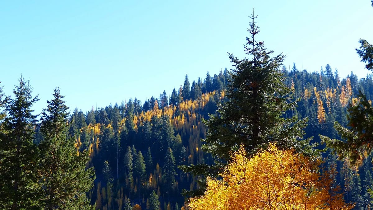
Fall color does not switch on across a map. It travels, sweeping south as nights lengthen and dropping down mountainsides as elevation adds its own version of the same push. Understanding that movement is the difference between guessing at a trip and actually timing one.
A wave, not a switch
Picture a line moving down a map of North America each fall, roughly following the advancing edge of long nights. North of that line, trees have already crossed their photoperiod threshold and started shutting down. South of it, the same species is often still green. That line does not sit still. It creeps south through the season, region by region, dragging color down the continent behind it the same way a cold front drags weather. Watch a map over several weeks and the pattern is unmistakable, even though from any single trailhead it just looks like the season slowly arriving. The interactive map exists mainly to show you where that line currently sits, rather than making you guess from a memory of last year's trip or a rule of thumb that only holds in an average year.
Latitude sets the pace
The reason the wave moves south at all comes back to night length, the trigger trees actually read. Nights lengthen faster the farther north you are, so a location near the top of the map logs a long-enough night sooner than a location well to the south, even though both are experiencing the exact same calendar week. That is not a coincidence of weather. It is geometry: higher latitudes see a bigger swing in day length across the year, so their trees cross the trigger threshold earlier. A full explanation of that mechanism lives in how trees know it's autumn, but the short version is enough here: the same clock that starts a maple's shutdown also sets the pace of the whole southward wave.
Elevation is a shortcut north
Climbing a mountain does something similar to what traveling north does, just over a much shorter distance. Air temperature drops steadily with elevation, and while the photoperiod trigger itself does not change with altitude, the chemistry that follows it runs faster in colder air. A summit and the valley floor beneath it can cross their night-length threshold on nearly the same day, and yet the summit will visibly color up first, because its nights are already colder than the valley's. That is why the high country in Colorado can be well into gold aspens while towns in the surrounding lowlands are still deep summer green. Locals plan around this constantly: the mountain trip and the town walk two weeks later are sometimes viewing the same fall from two different points on the same slope.
Watching the wave on the ground
You do not need instruments to see this in action, just a drive that gains some elevation. Start low and the color can look like it has not begun at all. Climb a few thousand feet on the same afternoon and the aspens along the switchbacks can already be fully turned, sometimes dropping leaves onto the road while the trailhead parking lot below sits in green shade. That gap closes as the season goes on, since the valley eventually catches its own threshold, but for a window of a few weeks the mountain and the lowland genuinely are running two different fall calendars only a short drive apart. It is one of the more disorienting parts of a fall road trip: you can leave a green town in the morning, spend an afternoon walking through full color a few thousand feet up, and drive back down into summer again by dinner.
Reading the latitude line region by region
The same pattern shows up moving between regions rather than climbing a single mountain. New Hampshire typically shows real color well before regions several hundred miles south of it, for the same latitude reason that drives the whole wave. October 12–October 16, 2026 (forecast) reflects that head start directly in its forecast window. If you are choosing between two trips at different latitudes and can only take one, the northern option is very likely to be the earlier one, all else being equal, simply because its nights got long enough to trigger the season first. This is also why a foliage road trip planned south to north almost never works as well as one planned north to south. Chasing the wave downhill and down the map keeps you roughly in step with it; chasing it the other direction means constantly trying to catch up to a front that is already ahead of you.
Local wrinkles that break the smooth wave
None of this runs as cleanly as a weather front on a map. Valleys can trap cold air overnight and turn early despite sitting at low elevation, sometimes ahead of higher ground nearby that gets more wind and less frost pooling. Slopes facing north hold shade and cooler soil, and often turn ahead of a south-facing slope a short walk away that gets more direct sun deep into the afternoon. Coastal areas moderate temperature swings and can lag well behind interior spots at the same latitude, because the ocean holds heat longer than dry ground does. None of these local effects change the overall direction of the wave, south and downhill, but they explain why the timing on the ground rarely matches a straight line drawn on a map. For the underlying framework this all sits on, including how the wave interacts with weather and what "peak" even means once the color arrives, when does fall start is the place to start.
Using the wave to plan instead of guess
The practical upshot is that a fall trip has two dials to work with, not one. You can move the timing earlier by heading north, or by gaining elevation, and you can move it later by doing the reverse. A traveler chasing the best color across a whole season can, in theory, follow the wave the entire way down a mountain range or down a continent, catching the same show in a dozen places as it passes through each one in turn. That only works if you are tracking where the wave actually is this year rather than where it was last year, which is exactly what a live map is for.
Frequently asked
- Why does fall color start in the north before the south?
- Trees trigger their color change based on night length, and nights lengthen faster the farther north you are. A location near the top of a map crosses the trigger threshold before a location farther south, so the season effectively travels southward as the weeks pass, following the advancing night.
- Why do mountains change color before the valleys below them?
- Temperatures drop with elevation, and colder nights speed up the chemistry that follows once a leaf's photoperiod trigger has already fired. A summit and a valley floor can cross their night-length threshold around the same time, but the summit's colder air pushes the visible color along faster.
- Does the fall color wave move at a steady pace?
- Not exactly. It moves in the same general direction most years, south and downhill, but local weather speeds it up or slows it down along the way. A warm stretch can stall the visible change even after the trigger has fired, while an early cold snap can make the wave look like it jumped ahead.
- Can two nearby places have very different color timing?
- Yes. Elevation, slope direction, and proximity to large bodies of water can shift timing by days or weeks between spots that are close together on a map. A north-facing slope or a low frost pocket often turns well ahead of a sheltered, south-facing valley just a short drive away.
- What's the best way to track the color wave in real time?
- A live progression map is far more reliable than a rule of thumb, since it accounts for the current year's actual weather rather than an average year. Watching the wave move region by region shows you where color is building before it reaches your specific destination.
Regions in this article
More in Foliage Timing & Seasons
Foliage Timing & Seasons
False Fall: Why Some Leaves Turn in Late Summer
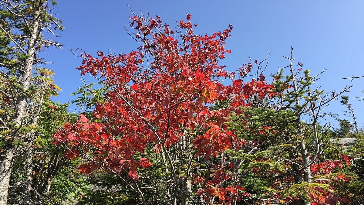
Red leaves in late summer usually aren't an early fall. They're almost always a stressed tree reacting to drought, damage, or disease.
2026-07-17 · 5 min read
Foliage Timing & Seasons
How Fall Foliage Forecasts Actually Work
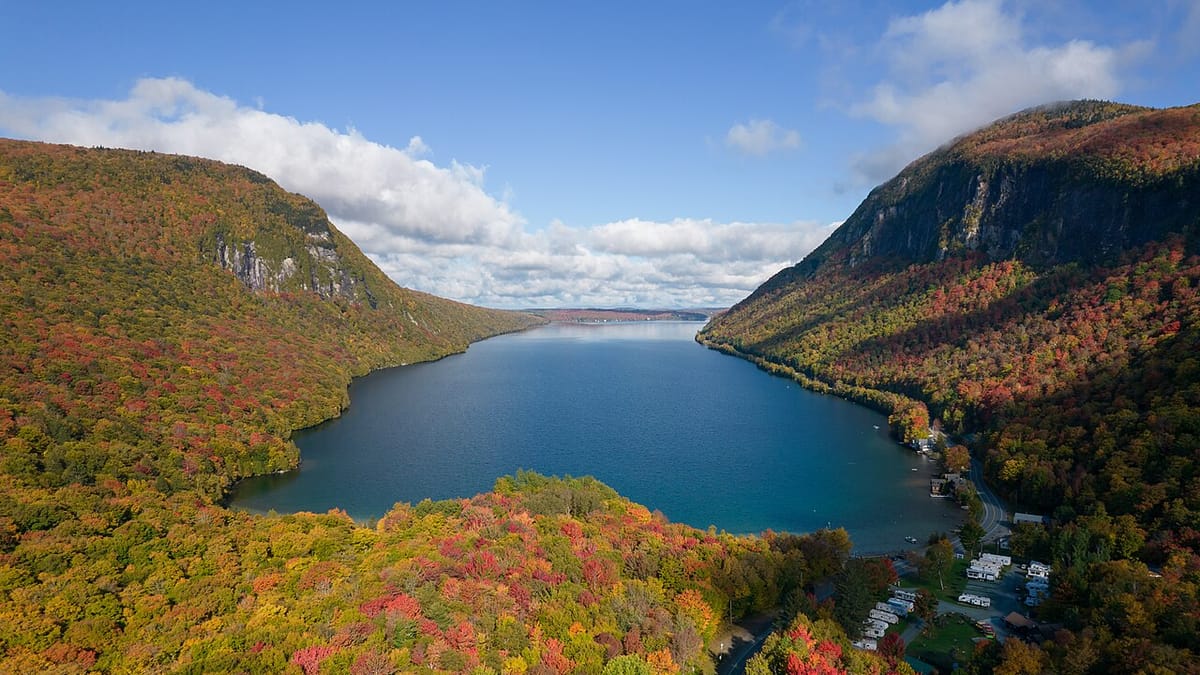
Fall color forecasts combine a fixed seasonal trigger with weather that has to be estimated. Here's how the underlying model actually predicts a peak.
2026-07-18 · 6 min read
Foliage Timing & Seasons
The Weather That Makes (or Ruins) a Great Foliage Year
Warm days, cool nights, and just enough rain make a vivid fall. Drought, wind, and an early hard freeze can flatten the same season fast.
2026-07-17 · 5 min read