Twizel
Lake · Canterbury & Mackenzie Country
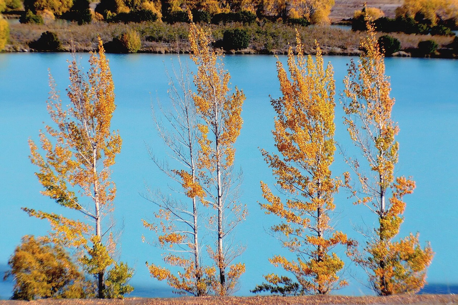
A Mackenzie Basin town built in the 1960s to house the Upper Waitaki hydro workforce, now ringed by planted poplar and willow groves along Lake Ruataniwha, the Wairepo Arm canals and Lake Alexandrina. The color holds about two weeks, framing turquoise glacial water against tussock hills.
Don’t miss
Peak: April 10–April 30
Climatological window from published records. The weather model’s elevation extrapolation isn’t reliable on this terrain, so this is the long-run normal rather than a season-specific forecast.
Source: https://theafterworkphotographer.com/autumn-colours-in-twizel/
When to go to Twizel
In an average year, peak color falls between April 10 and April 30. At 464 m, it turns before the lower ground nearby.
Twizel on the map
More things to do in Canterbury & Mackenzie Country
See all things to do in Canterbury & Mackenzie Country →Frequently asked
- When does Twizel peak?
- In a typical year, color peaks around April 10–April 30. The weather model's elevation extrapolation isn't reliable on this terrain, so this is a climatological window (source: https://theafterworkphotographer.com/autumn-colours-in-twizel/) rather than a season-specific forecast.
Own or manage Twizel? Update your listing or get in touch.