Sugarloaf Ridge State Park
State park · Kenwood · California
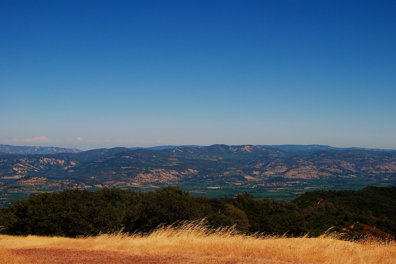
A 4,000 acre park in the Mayacamas Mountains above Kenwood, where big-leaf maple, buckeye, and a mix of oaks color the creek canyons while the surrounding hillsides stay green with bay laurel and Douglas fir. Twenty five miles of trail climb from the campground to Bald Mountain, and Sonoma Creek's waterfall runs best after the season's first rains.
Don’t miss
Plan your visit
Peak: November 17–November 21
Color builds from November 3 · mostly bare by December 11
Sampled at Sugarloaf Ridge State Park’s own coordinates and elevation (372 m) rather than a regional average.
74 weather points cover California, and the model shifts their answer 3 days later, which is what it takes to match 3 published peak dates from monocounty.org and explorefall.com. This year's weather has the peak running 1 day later than a normal year. How the forecast works
When to go to Sugarloaf Ridge State Park
You get about 25 days of color here, from the first turn through to roughly November 28. That runs roughly 3 days later than the rest of California. The elevation is 1,220 ft, which pulls the turn earlier.
It is roughly 46 mi out of San Francisco. Sacramento is about 56 mi out.
Sugarloaf Ridge State Park on the map
Drag the date slider to see when color reaches this corner of California, or tap a pin for that stop’s own peak window.
More things to do in California
Leaves & views
Farms & harvest
Towns & rides
Plan from a city
Frequently asked
- When does Sugarloaf Ridge State Park peak in 2026?
- Peak color is predicted for November 17–November 21 (best estimate November 19). Color starts around November 3 and is mostly bare by December 11.
- How do I get to Sugarloaf Ridge State Park?
- Sugarloaf Ridge State Park is in Kenwood. The closest city is San Francisco, about 46 mi away. It's part of California's fall lineup.
Own or manage Sugarloaf Ridge State Park? Update your listing or get in touch.