Placerville
Historic town · Placerville · California
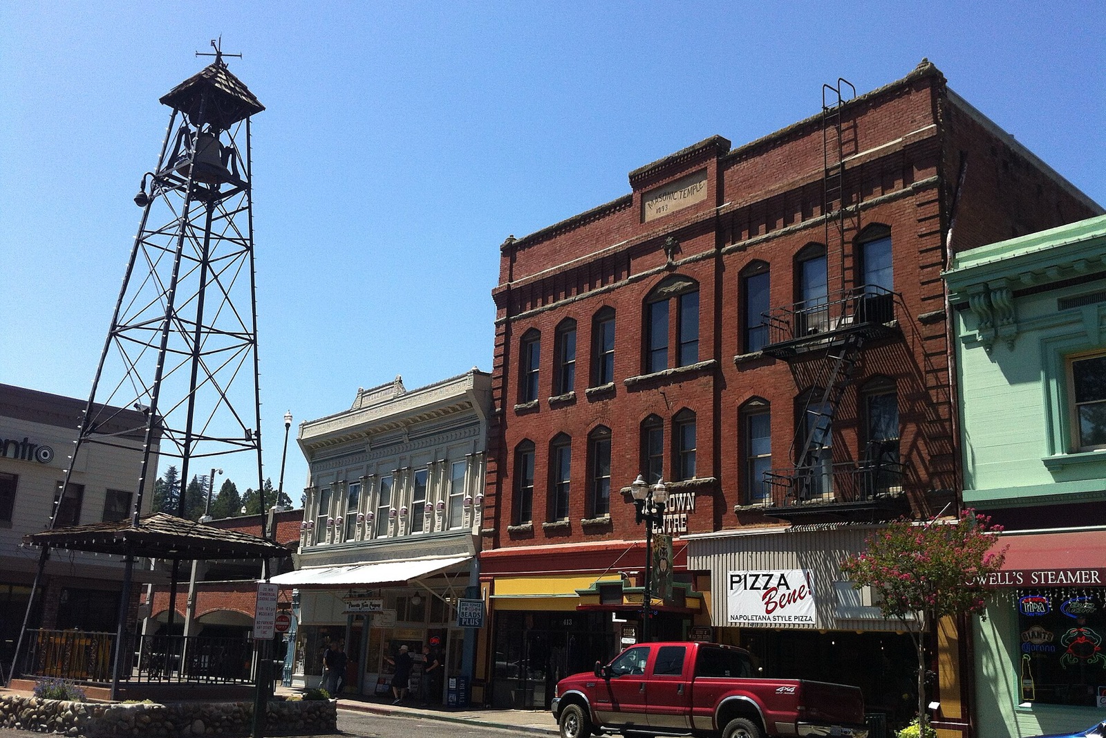
The Gold Rush town that miners once called Hangtown, its Main Street still lined with brick storefronts and historical markers from the 1850s. It sits right below Apple Hill, so most visitors treat it as a stop on the way up rather than a destination itself, but the old town rewards a half hour of walking around before the orchards.
Don’t miss
Color nearby peaks: November 3–November 7
Color builds from October 20 · mostly bare by November 27
Sampled at Placerville’s own coordinates and elevation (571 m) rather than a regional average.
74 weather points cover California, and the model shifts their answer 3 days later, which is what it takes to match 3 published peak dates from monocounty.org and explorefall.com. This year's weather has the peak running 1 day later than a normal year. How the forecast works
When to go to Placerville
The color window runs about 25 days, holding until around November 14. That runs roughly 11 days earlier than the rest of California. Most of that is elevation. It sits at 1,873 ft.
Figure about 39 mi from Sacramento.
Placerville on the map
Drag the date slider to see when color reaches this corner of California, or tap a pin for that stop’s own peak window.
More things to do in California
Leaves & views
Farms & harvest
Towns & rides
Plan from a city
Frequently asked
- When does Placerville peak in 2026?
- Peak color is predicted for November 3–November 7 (best estimate November 5). Color starts around October 20 and is mostly bare by November 27.
- How do I get to Placerville?
- Placerville is in Placerville. The closest city is Sacramento, about 39 mi away. It's part of California's fall lineup.
Own or manage Placerville? Update your listing or get in touch.