Mohawk Trail (Hairpin Turn)
Scenic drive · Massachusetts
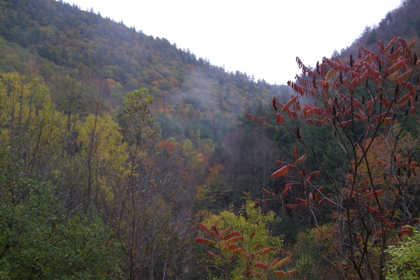
Route 2's 63-mile run through the Berkshires climbs to a 1,700-foot hairpin turn on the North Adams-Clarksburg line, opening onto a 90-mile view across the Hoosac Valley toward Mount Greylock. It's New England's oldest official scenic auto route, marked in 1914.
Don’t miss
Peak: October 8–October 12
Color builds from September 27 · mostly bare by October 31
Sampled at Mohawk Trail (Hairpin Turn)’s own coordinates and elevation (591 m) rather than a regional average.
This window comes from 4 weather points across Massachusetts, nudged 3 days later to match 1 published peak date from smokymountains.com and almanac.com. Massachusetts is running 2 days earlier than its own average this year. How the forecast works
When to go to Mohawk Trail (Hairpin Turn)
You get about 22 days of color here, from the first turn through to roughly October 19. Against Massachusetts overall, that is 10 days earlier. Height explains the gap, since this sits at 1,939 ft. At 1,939 ft, it turns before the lower ground nearby.
It is roughly 68 mi out of Hartford.
Mohawk Trail (Hairpin Turn) on the map
Drag the date slider to see when color reaches this corner of Massachusetts, or tap a pin for that stop’s own peak window.
More things to do in Massachusetts
Leaves & views
- Boston Public GardenGarden · Peak Oct 22
- Arnold ArboretumArboretum · Peak Oct 22
- Mount Auburn CemeteryGarden cemetery · Peak Oct 22
- Middlesex Fells ReservationState park · Peak Oct 21
- Walden Pond State ReservationState park · Peak Oct 21
- Mount Greylock State ReservationState park · Peak Oct 8
- Bash Bish Falls State ParkState park · Peak Oct 14
Plan from a city
Frequently asked
- When does Mohawk Trail (Hairpin Turn) peak in 2026?
- Peak color is predicted for October 8–October 12 (best estimate October 10). Color starts around September 27 and is mostly bare by October 31.
- How do I get to Mohawk Trail (Hairpin Turn)?
- The closest city is Hartford, about 68 mi away. It's part of Massachusetts's fall lineup.
Own or manage Mohawk Trail (Hairpin Turn)? Update your listing or get in touch.