Lost Maples State Natural Area
State park · Texas
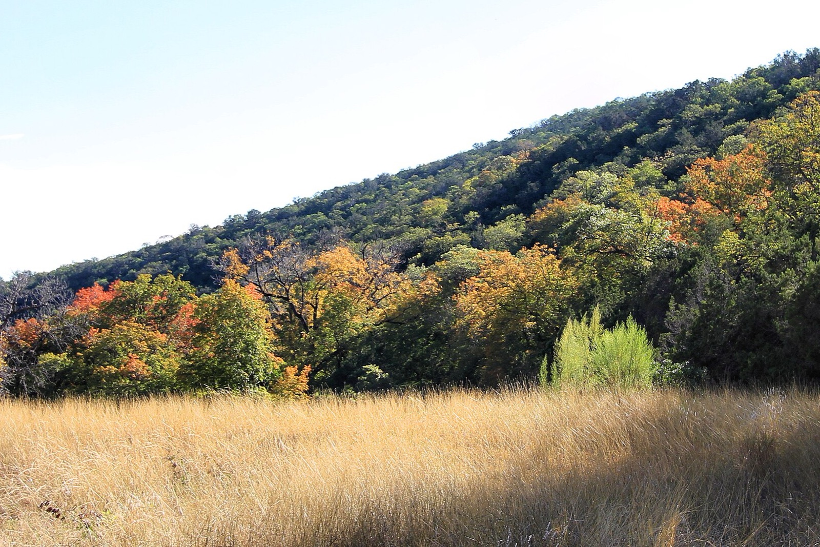
A relict stand of bigtooth maples, cut off from Appalachian relatives since the last ice age, turns red and orange along the Sabinal River each November, Texas's singular fall-color destination, popular enough that the park caps daily entries.
Don’t miss
Peak: November 21–November 25
Color builds from November 11 · mostly bare by December 18
Sampled at Lost Maples State Natural Area’s own coordinates and elevation (550 m) rather than a regional average.
This window comes from 115 weather points across Texas, nudged 1 day earlier to match 2 published peak dates from tpwd.texas.gov and explorefall.com. This year's weather has the peak running 4 days earlier than a normal year. How the forecast works
When to go to Lost Maples State Natural Area
You get about 21 days of color here, from the first turn through to roughly December 2. Against Texas overall, that is 7 days later. The elevation is 1,804 ft, which pulls the turn earlier.
Figure about 70 mi from San Antonio.
Lost Maples State Natural Area on the map
Drag the date slider to see when color reaches this corner of Texas, or tap a pin for that stop’s own peak window.
More things to do in Texas
Leaves & views
Halloween
- Dark Hour Haunted HouseHaunted attraction · Color peaks Nov 12
- Phobia Haunted HousesHaunted attraction · Color peaks Nov 25
- 13th Floor Haunted House HoustonHaunted attraction · Color peaks Nov 25
- Cutting Edge Haunted HouseHaunted attraction · Color peaks Nov 13
- Thrillvania Haunted House ParkHaunted attraction · Color peaks Nov 14
- Six Flags Over Texas Fright FestHaunted attraction · Color peaks Nov 13
Plan from a city
Frequently asked
- When does Lost Maples State Natural Area peak in 2026?
- Peak color is predicted for November 21–November 25 (best estimate November 23). Color starts around November 11 and is mostly bare by December 18.
- How do I get to Lost Maples State Natural Area?
- The closest city is San Antonio, about 70 mi away. It's part of Texas's fall lineup.
Own or manage Lost Maples State Natural Area? Update your listing or get in touch.