Lago Fagnano
Lake · Tierra del Fuego
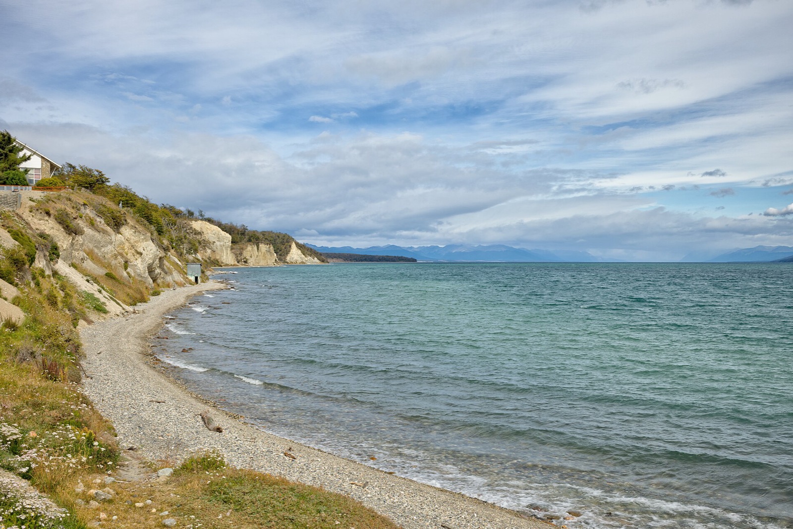
A 100-kilometer glacial lake splitting Tierra del Fuego between Argentina and Chile, its shoreline lenga and coihue forest shifting from summer green to red and gold through autumn. Ruta 3 follows the northern shore near the sawmill town of Tolhuin, the quietest approach to the lake's forested arm.
Don’t miss
Forecast coming soon
Weather data for this area lands with the next model run. Meanwhile, explore the full map.
Lago Fagnano on the map
More things to do in Tierra del Fuego
Tierra del Fuego National Park
National parkTypically April 1–April 30
The world's southernmost national park, its lenga and ñire forest climbing from the Beagle Channel to 600 meters before giving way to bare peaks. The Senda Costera footpath follows the shore from Ensenada Bay to Lapataia, the ñire glowing red through April against water that rarely warms past 8°C.
Don’t miss: Senda Costera coastal trail · Lapataia Bay · Beagle Channel shoreline
Ushuaia
Historic townTypically April 1–April 30
Built on a narrow shelf between the Beagle Channel and the Martial Mountains, this is the world's southernmost city, its old prison-colony rail line now running as a tourist train into the national park. Surrounding lenga forest turns color through April, autumn's brief window before winter.
Don’t miss: Beagle Channel waterfront · End of the World Train · Martial Mountains backdrop
Frequently asked
- What is Lago Fagnano best for?
- A scenic drive along the lake.
Own or manage Lago Fagnano? Update your listing or get in touch.