Independence Pass
Scenic drive · Colorado
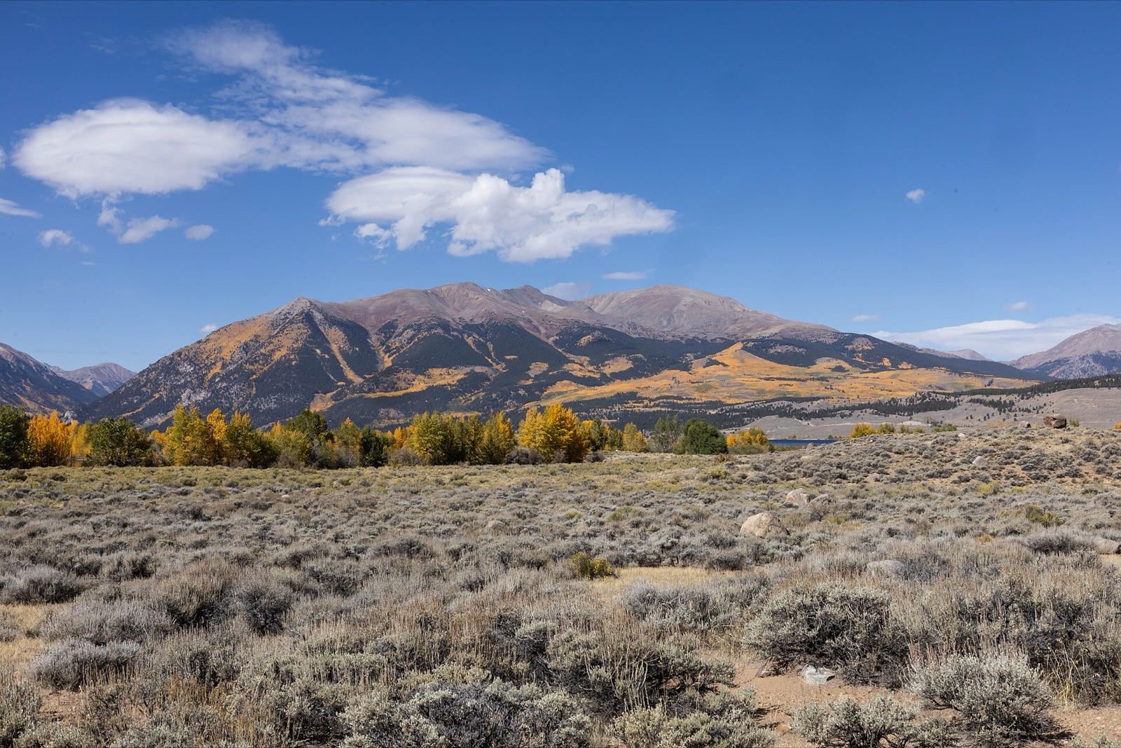
Highway 82 crests the Continental Divide at 12,095 feet between Aspen and Twin Lakes, Colorado's highest paved through-pass, with alpine tundra and aspen-lined switchbacks that shut to long vehicles before winter snow closes the road entirely.
Don’t miss
Peak: September 23–September 27
Color builds from September 12 · mostly bare by October 17
Sampled at Independence Pass’s own coordinates and elevation (3686 m) rather than a regional average.
This window comes from 54 weather points across Colorado, nudged 2 days earlier to match 2 published peak dates from csfs.colostate.edu and smokymountains.com. This year's weather has the peak running 3 days earlier than a normal year. How the forecast works
When to go to Independence Pass
The color window runs about 22 days, holding until around October 4. The elevation is 12,093 ft, which pulls the turn earlier.
Independence Pass on the map
Drag the date slider to see when color reaches this corner of Colorado, or tap a pin for that stop’s own peak window.
More things to do in Colorado
Leaves & views
Farms & harvest
Frequently asked
- When does Independence Pass peak in 2026?
- Peak color is predicted for September 23–September 27 (best estimate September 25). Color starts around September 12 and is mostly bare by October 17.
Own or manage Independence Pass? Update your listing or get in touch.