Height of Land (Rangeley Lakes Scenic Byway)
Scenic drive · Maine
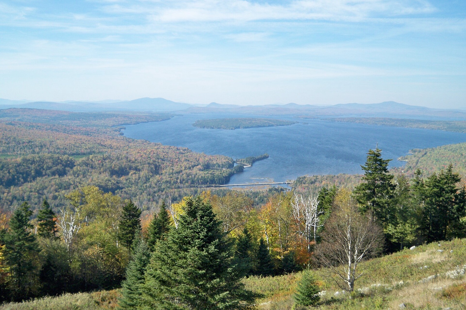
The best pull-off on the 52-mile Rangeley Lakes National Scenic Byway sits at 2,300 feet on Route 17, framing Mooselookmeguntic Lake against layered mountain ridgelines. It's routinely named among the best fall foliage views in the country.
Don’t miss
Peak: October 6–October 10
Color builds from September 23 · mostly bare by October 29
Sampled at Height of Land (Rangeley Lakes Scenic Byway)’s own coordinates and elevation (569 m) rather than a regional average.
This window comes from 18 weather points across Maine, nudged 1 day later to match 1 published peak date from smokymountains.com. How the forecast works
When to go to Height of Land (Rangeley Lakes Scenic Byway)
Good color holds through about October 17, giving you roughly 24 days from the first turn to past peak. Against Maine overall, that is 4 days earlier. At 1,867 ft, it turns before the lower ground nearby.
Height of Land (Rangeley Lakes Scenic Byway) on the map
Drag the date slider to see when color reaches this corner of Maine, or tap a pin for that stop’s own peak window.
More things to do in Maine
Leaves & views
Farms & harvest
Cider & donuts
Towns & rides
Frequently asked
- When does Height of Land (Rangeley Lakes Scenic Byway) peak in 2026?
- Peak color is predicted for October 6–October 10 (best estimate October 8). Color starts around September 23 and is mostly bare by October 29.
Own or manage Height of Land (Rangeley Lakes Scenic Byway)? Update your listing or get in touch.