Dahlonega
Historic town · Dahlonega · Georgia
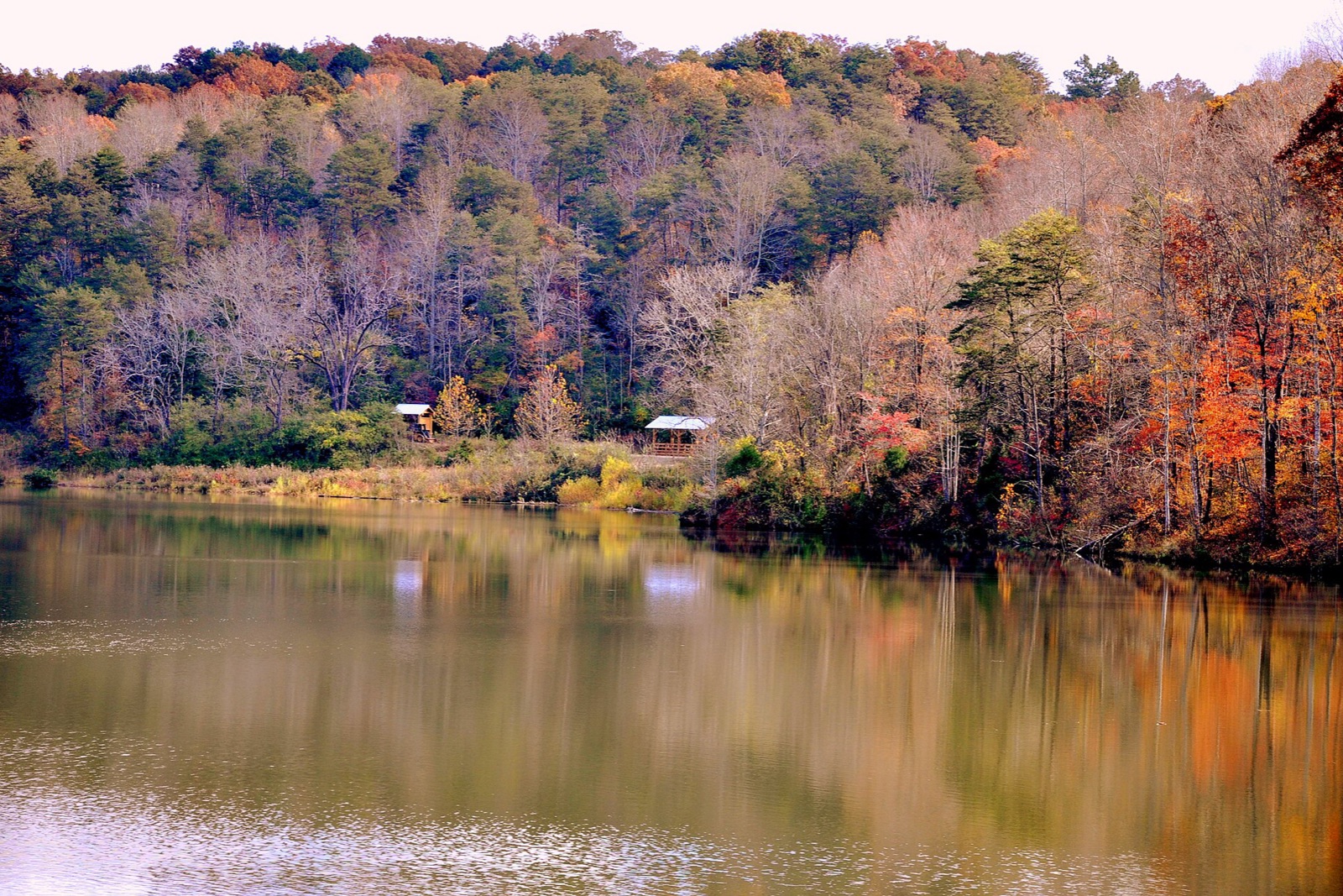
Georgia's first gold rush started here in 1828, two decades before California's, and the brick courthouse square still anchors a downtown listed on the National Historic Register. Walk it in fall for the mountain air, then head into the surrounding hills where the same roads lead to Ellijay's orchards and cider houses.
Don’t miss
Color nearby peaks: October 31–November 4
Color builds from October 24 · mostly bare by November 26
Sampled at Dahlonega’s own coordinates and elevation (447 m) rather than a regional average.
This window comes from 27 weather points across Georgia, checked against 1 published peak date from explorefall.com and farmersalmanac.com. Georgia is running 5 days earlier than its own average this year. How the forecast works
When to go to Dahlonega
Good color holds through about November 11, giving you roughly 18 days from the first turn to past peak. The elevation is 1,467 ft, which pulls the turn earlier.
It is roughly 59 mi out of Atlanta.
Dahlonega on the map
Drag the date slider to see when color reaches this corner of Georgia, or tap a pin for that stop’s own peak window.
More things to do in Georgia
Leaves & views
Farms & harvest
Halloween
Towns & rides
Plan from a city
Frequently asked
- When does Dahlonega peak in 2026?
- Peak color is predicted for October 31–November 4 (best estimate November 2). Color starts around October 24 and is mostly bare by November 26.
- How do I get to Dahlonega?
- Dahlonega is in Dahlonega. The closest city is Atlanta, about 59 mi away. It's part of Georgia's fall lineup.
Own or manage Dahlonega? Update your listing or get in touch.