Columbia River Gorge
Scenic drive · Oregon
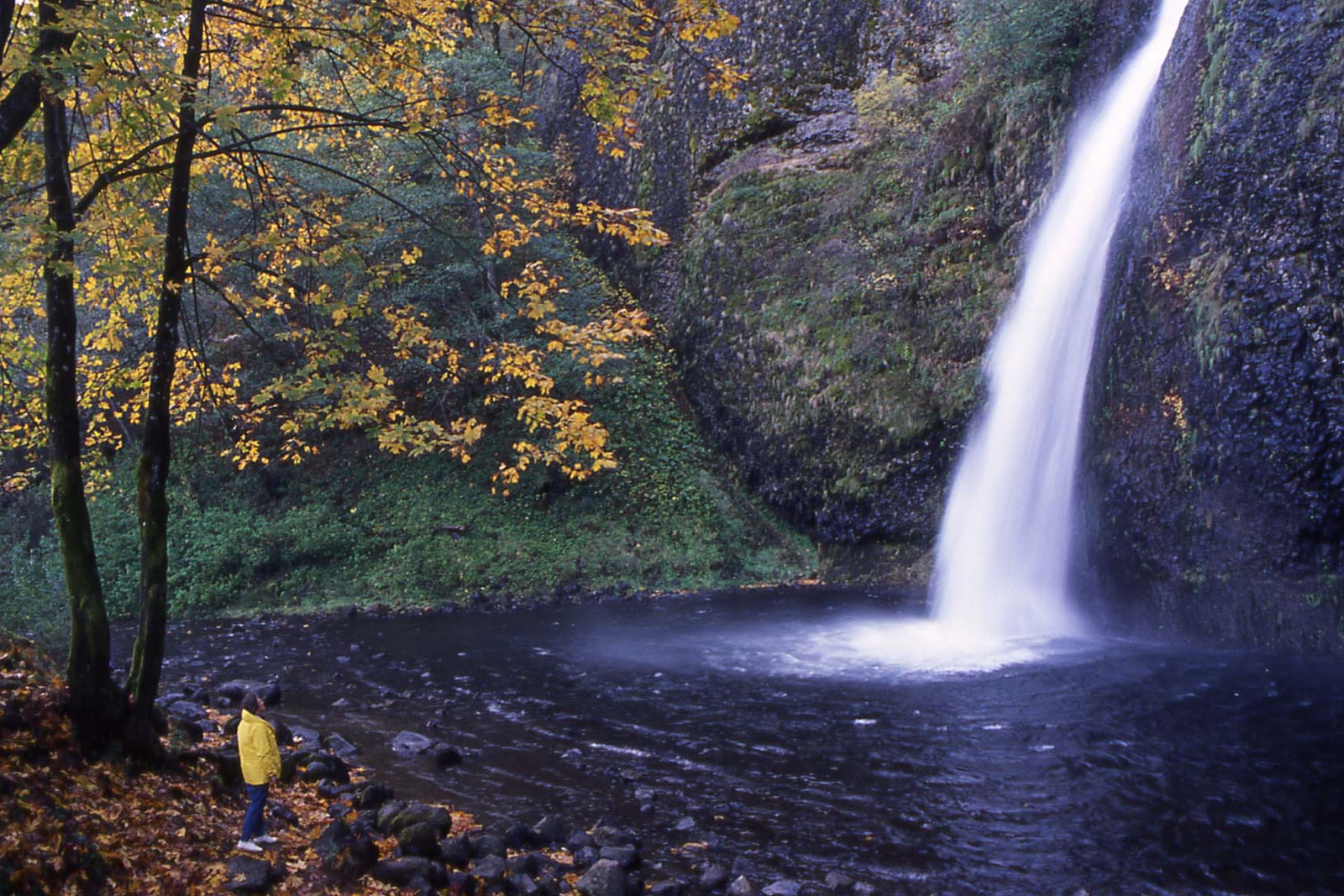
The Historic Columbia River Highway threads waterfalls and bigleaf maples between Troutdale and Hood River, with Vista House at Crown Point framing the gorge 700 feet below. The route's maples turn in late October, after summer's crowds thin out.
Don’t miss
Peak: October 24–October 28
Color builds from October 8 · mostly bare by November 15
Sampled at Columbia River Gorge’s own coordinates and elevation (162 m) rather than a regional average.
50 weather points cover Oregon, and the model shifts their answer 8 days later, which is what it takes to match 2 published peak dates from smokymountains.com and explorefall.com. Oregon is running 2 days later than its own average this year. How the forecast works
When to go to Columbia River Gorge
You get about 27 days of color here, from the first turn through to roughly November 4. Against Oregon overall, that is 2 days later. Height explains the gap, since this sits at 531 ft.
It is roughly 21 mi out of Portland.
Columbia River Gorge on the map
Drag the date slider to see when color reaches this corner of Oregon, or tap a pin for that stop’s own peak window.
More things to do in Oregon
Leaves & views
Farms & harvest
Plan from a city
Frequently asked
- When does Columbia River Gorge peak in 2026?
- Peak color is predicted for October 24–October 28 (best estimate October 26). Color starts around October 8 and is mostly bare by November 15.
- How do I get to Columbia River Gorge?
- The closest city is Portland, about 21 mi away. It's part of Oregon's fall lineup.
Own or manage Columbia River Gorge? Update your listing or get in touch.