Alpine Loop Scenic Byway
Scenic drive · Utah
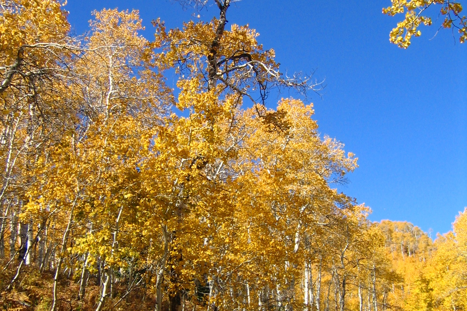
A 20-mile paved loop climbs American Fork Canyon past Timpanogos Cave and over an 8,000-foot summit between Mount Timpanogos and Cascade Mountain, closing for winter by late October just after its maple and aspen canyons peak.
Don’t miss
Peak: October 3–October 7
Color builds from September 22 · mostly bare by October 27
Sampled at Alpine Loop Scenic Byway’s own coordinates and elevation (1871 m) rather than a regional average.
46 weather points cover Utah, and the model shifts their answer 5 days earlier, which is what it takes to match 1 published peak date from smokymountains.com. How the forecast works
When to go to Alpine Loop Scenic Byway
The color window runs about 22 days, holding until around October 14. That is about 9 days earlier than Utah as a whole. It sits at 6,138 ft, high enough to turn before the valleys do.
It is roughly 24 mi out of Salt Lake City.
Alpine Loop Scenic Byway on the map
Drag the date slider to see when color reaches this corner of Utah, or tap a pin for that stop’s own peak window.
More things to do in Utah
Leaves & views
Farms & harvest
Halloween
Plan from a city
Frequently asked
- When does Alpine Loop Scenic Byway peak in 2026?
- Peak color is predicted for October 3–October 7 (best estimate October 5). Color starts around September 22 and is mostly bare by October 27.
- How do I get to Alpine Loop Scenic Byway?
- The closest city is Salt Lake City, about 24 mi away. It's part of Utah's fall lineup.
Own or manage Alpine Loop Scenic Byway? Update your listing or get in touch.